-40%
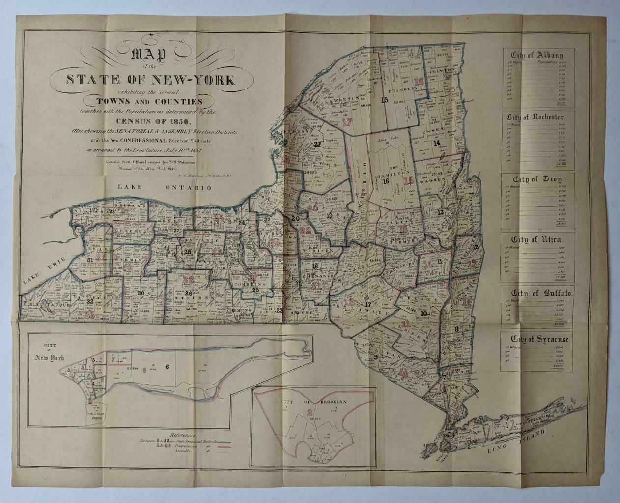
1851 ANTIQUE NEW YORK MAP by HAYWARD w TOWN COUNTY ELECTION DISTRICTS & CENSUS
$ 39.6
- Description
- Size Guide
Description
1851 ANTIQUE NEW YORK MAP by HAYWARD w TOWN COUNTY ELECTION DISTRICTS & CENSUS1851 ANTIQUE NEW YORK MAP by HAYWARD w TOWN COUNTY ELECTION DISTRICTS & CENSUS
Click images to enlarge
Description
(PLEASE CLICK HERE TO SEE OUR OTHER ITEMS CURRENTLY LISTED ON EBAY.)
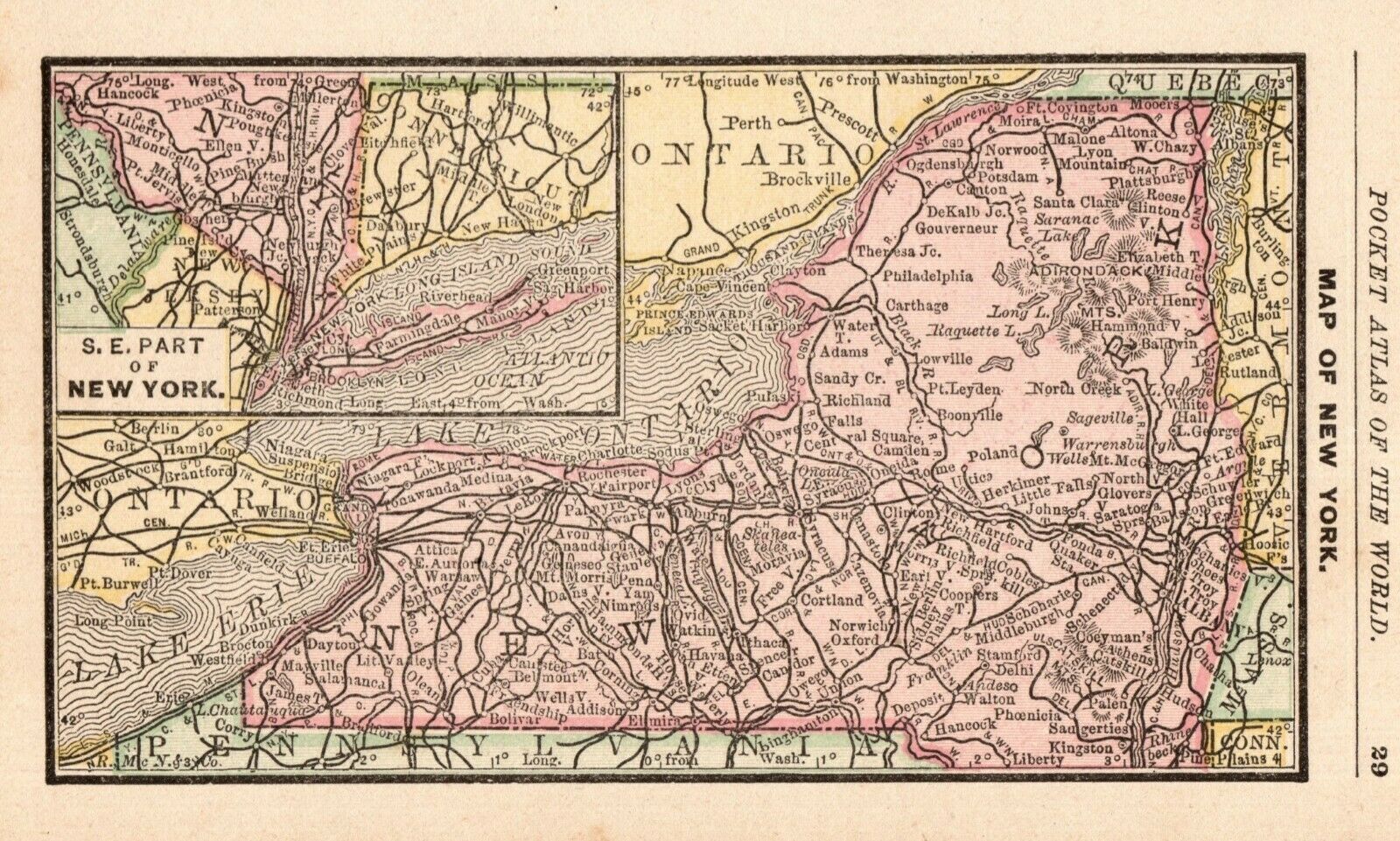
1851 ANTIQUE Hand Tinted "MAP of the STATE OF NEW-YORK exhibiting the several TOWNS and COUNTIES together with the Population as determined by the CENSUS of 1850. Also shewing the SENATORIAL & ASSEMBLY ELECTION DISTRICTS,..." by G. Hayward. Compiled from official sources for D. Valentine's Manual of City New York 1851.
Approximate size of map when fully opened is 23-1/4" x 18-1/2". Condition: fold lines, light soiling, occasional edge wear and tears. Please see photos for additional condition review. Questions welcome!
Payment
Payment must be received within 5 days after listing ends
.
Shipping
Most items will be shipped via USPS or UPS.
Images sell!
Get Supersized Images & Free Image Hosting
Create your brand with Auctiva's
Customizable Templates.
Attention Sellers - Get Templates
Image Hosting, Scheduling at Auctiva.com.
Track Page Views With
Auctiva's FREE Counter
