-40%
1877 Lake Griffing & Stevenson An Illustrated Atlas of Carroll County, Maryland
$ 237.6
- Description
- Size Guide
Description
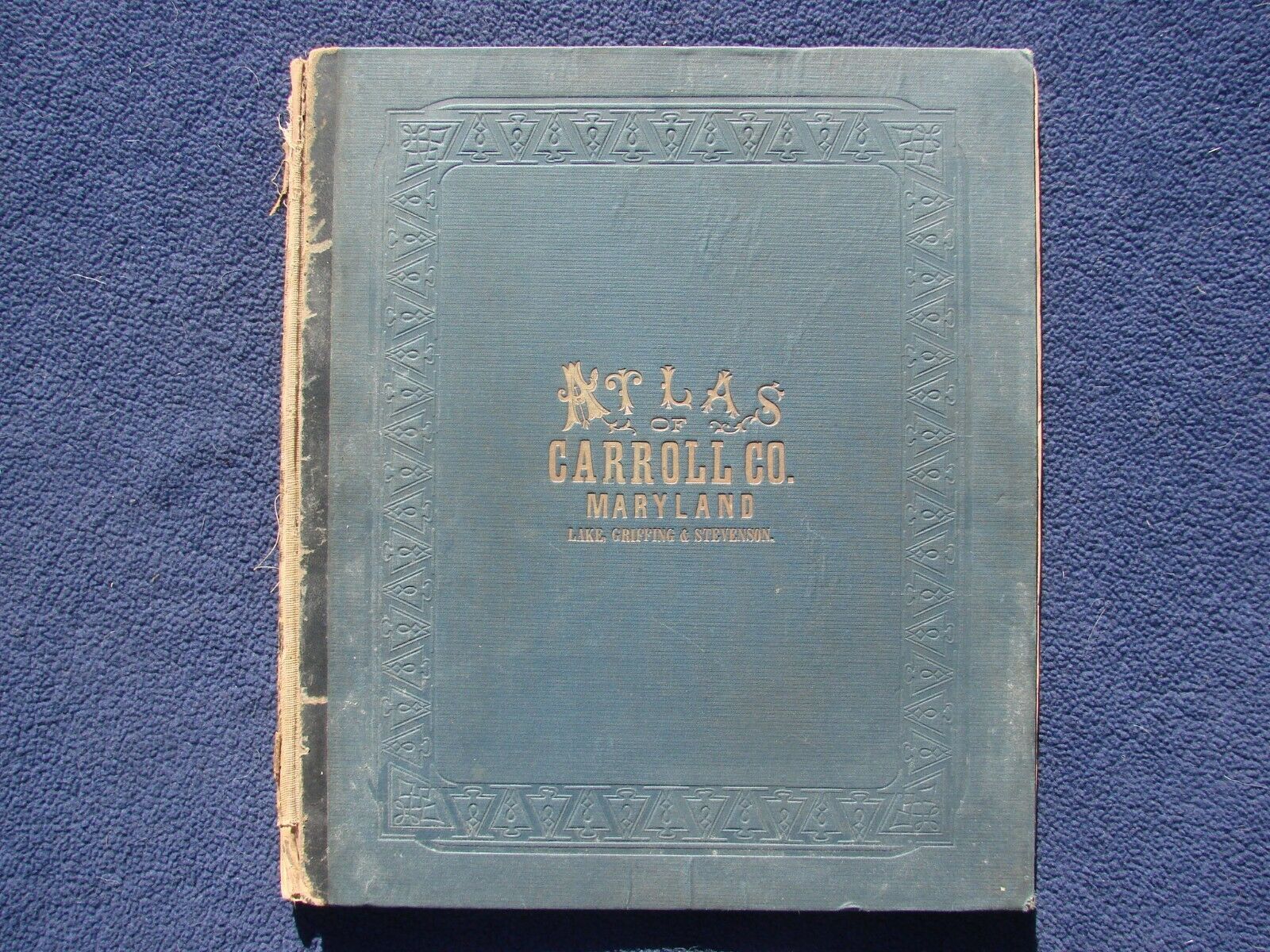
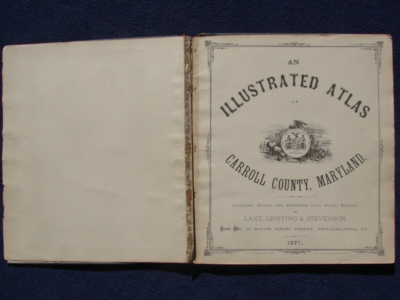
An Illustrated Atlas of Carroll County, MarylandBy
Lake, Griffing & Stevenson, Philadelphia: Lake, Griffing & Stevenson, 1877
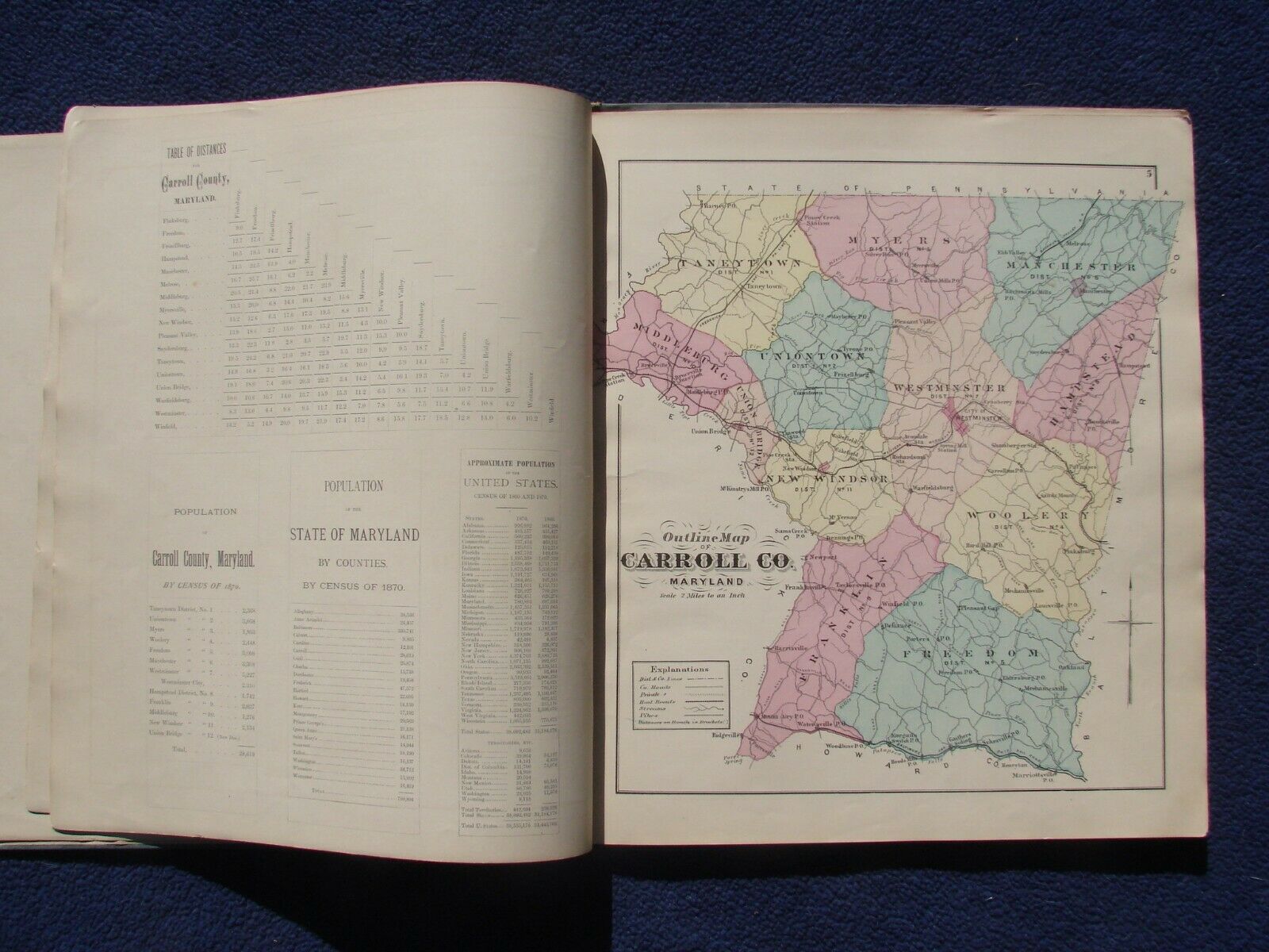
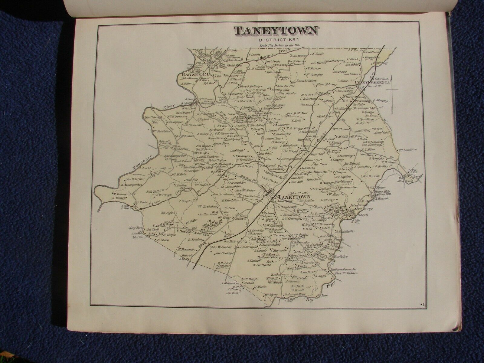
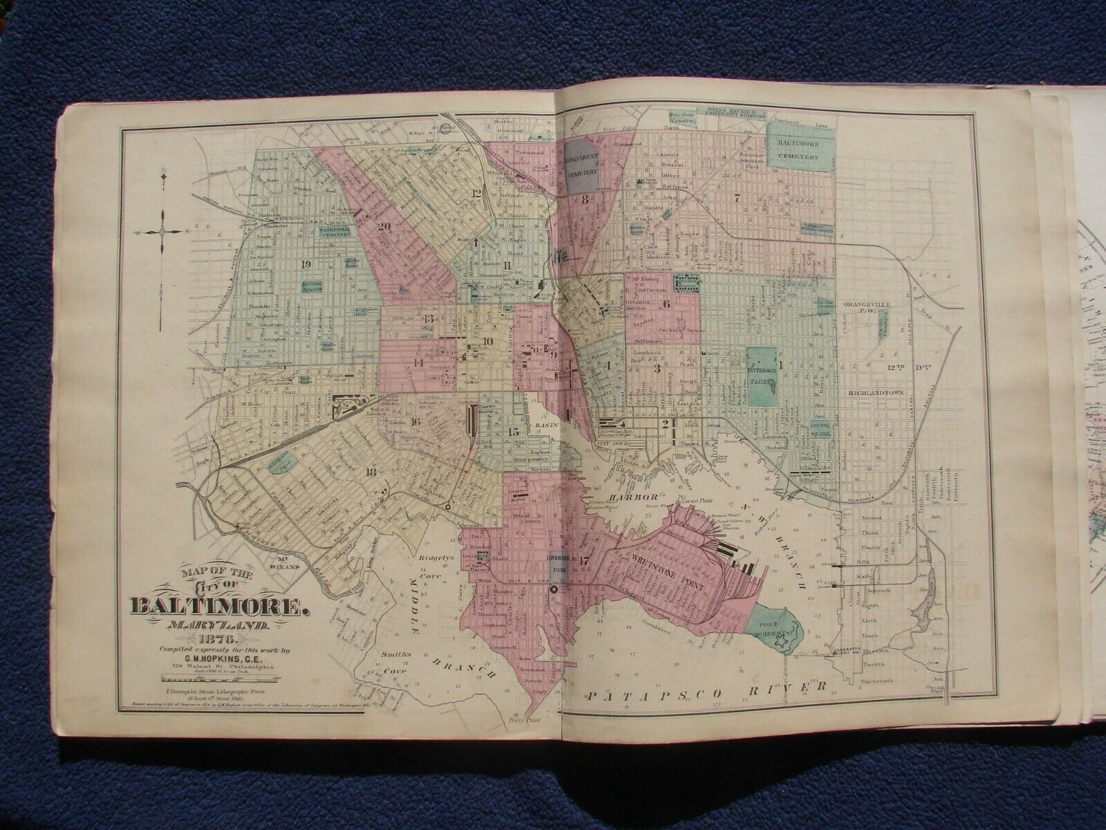
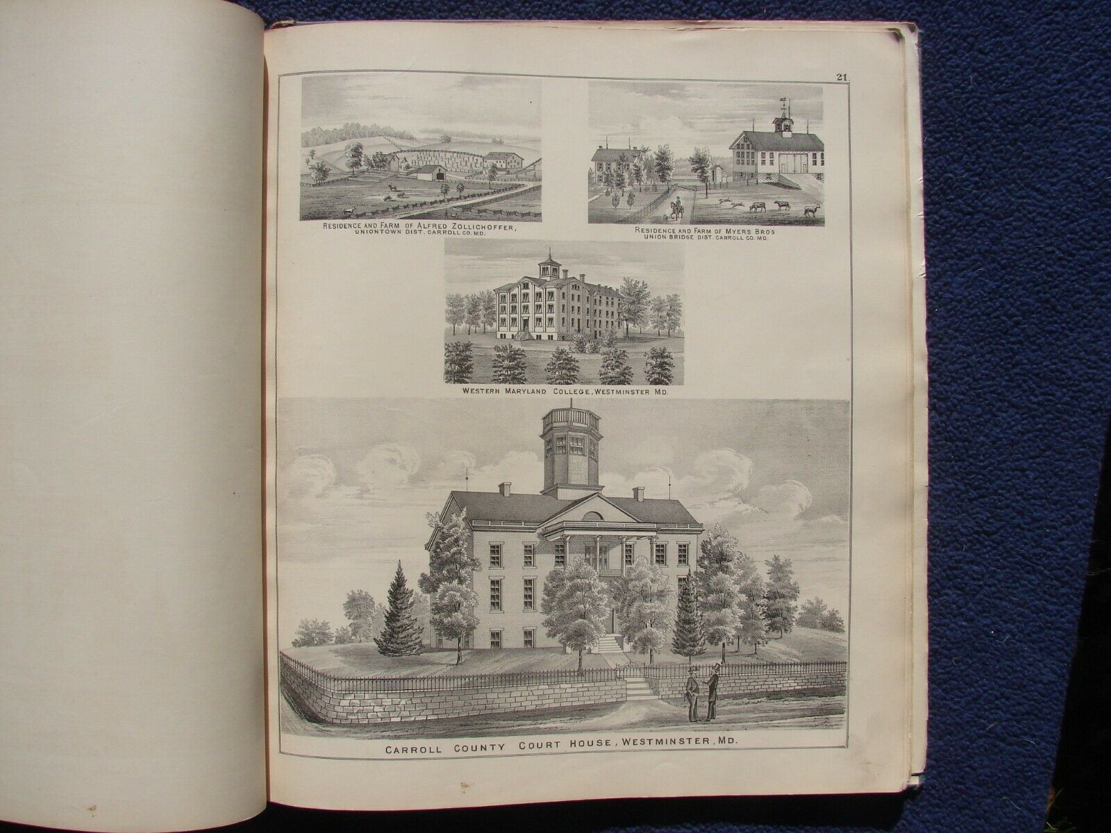
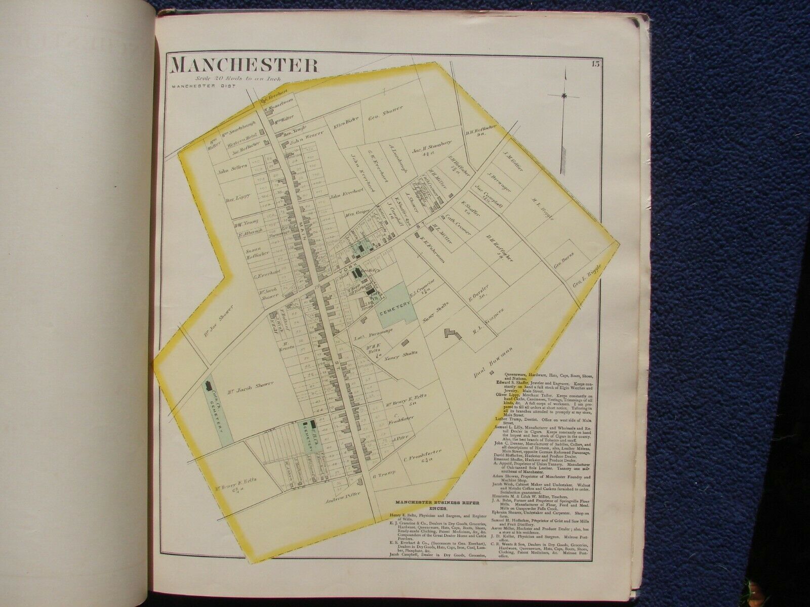
In original dark grayish green cloth with leather spine and gilt lettered front cover title. First edition, 48, [16] pp. including 34 hand-colored maps on 21 sheets (7 double page including 1 folding) and 9 b&w lithographic views on 2 sheets. Scarce atlas of this north central Maryland county. The town and district maps show streets, roads, rail roads, residences (many with owners named), businesses, churches, schools, parks, cemeteries, etc. Additional general maps are provided for the State of Maryland, City of Baltimore, the United States and Eastern and Western hemispheres. A list of patrons is provided as are views of prominent residences, Western Maryland College, the Carroll County Courthouse, and the Schriver & Sons Tannery. This atlas provides a wonderful historical record of the county as it existed in the late 1870's.
Condition: Complete with all pages and maps. Light wear to extremities except for backstrip, which is mostly missing with both boards detached. Interior clean with no markings or foxing. Binding split at hemisphere maps (last maps at rear). With a new spine and binding repairs, this copy would be transformed into an outstanding example of this elusive atlas. Graded poor for spine condition but boards and contents are very good.
