-40%
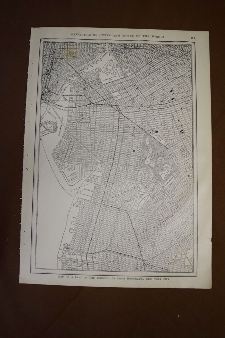
1923 Original Map of Brooklyn, NYC--from a P.F. Collier Atlas
$ 8.71
- Description
- Size Guide
Description
This listing features a very nice 1923 vintage single-page, highly-detailed, black & white map of part of the borough of Brooklyn, New York City. The map was published by P. F. Collier and Son in their New World Atlas & Gazetteer.This Brooklyn map has great features and details. It shows streets within the city, ferries, military installations, tunnels, boat basins, plus points of interest in and around the city, including cemeteries, parks, and gardens. This map also shows the Brooklyn bridge and part of lower Manhattan.
The map has a total page size of 10-3/4"x 13", and an image size of 9-1/4" x 13-3/4". The condition of the map is excellent, with no holes or tears within the image. There is a light smudge in the upper left corner of the image. (see the first photo). There also are small holes in the margin where the map was removed from the atlas, and a small tear in the margin. There is also light yellowing of the margin. See photos for details of the map.
This map will be carefully wrapped and shipped in a rigid container, via US Postal First Class Package Service.


