-40%
Rocky Mtn Transect Statigraphic/Geologic Map of Wyoming 1987
$ 5.28
- Description
- Size Guide
Description
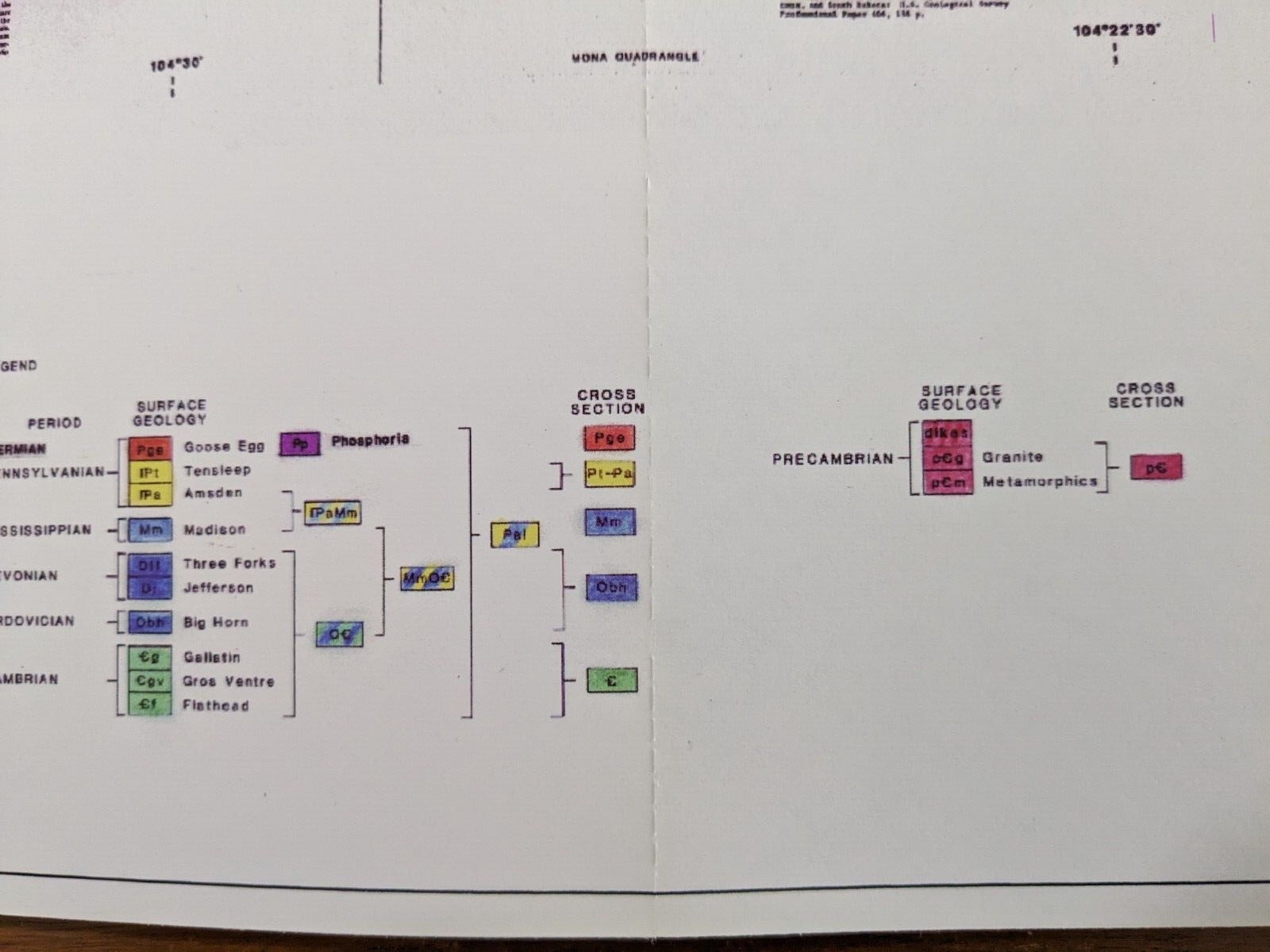
My dad was a petroleum geologist and interested in stratigraphy. In 1987, he mapped out the geology/stratigraphy of the state of Wyoming from Idaho to South Dakota using seismic data. The line he followed is shown in photo two on the Wyoming map. The layers and the geologic time periods are shown in the legend.He used to sell these maps through the RMAG (Rocky Mountain Association of Geologists), and they still offer these for sale digitally, however they no longer offer the paper version for sale. I thought that this might be a fun "poster" for a young budding (or adult) geologist to put up around his or her ceiling. (Some folks like to study the sky above, but maybe some are more interested in the ground underneath their feet?) This "poster" is 30 feet long (it will extend a good distance around the room) and 9.5 inches tall. It comes as a folded document. You might need a magnifying glass to read some of the printing.


