-40%
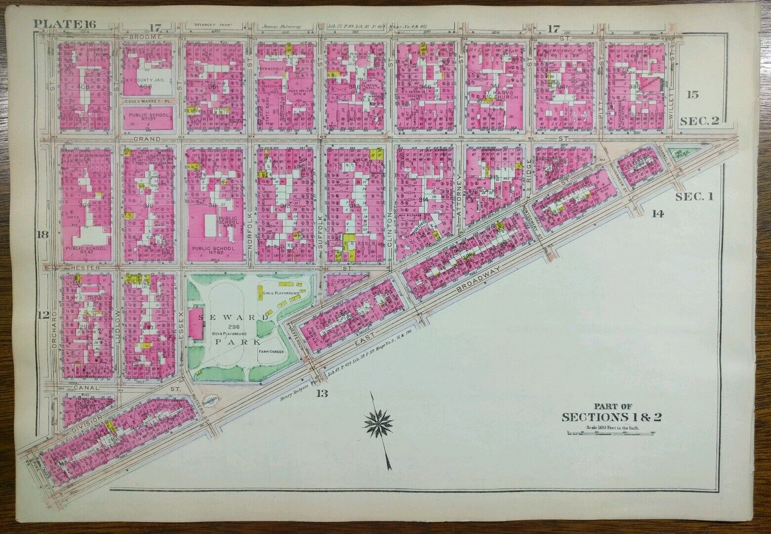
Vintage 1916 LOWER EAST SIDE MANHATTAN NEW YORK Map ~ BROOME GRAND DELANCEY ST
$ 64.94
- Description
- Size Guide
Description
"An Authentic Original Map Not A Modern Reproduction"Offered for your consideration is a rare vintage original map showing a portion of the lower east side bordered by Willett Street to the west, the East River to the east, Stanton Street to the north and Grand Street to the south. On the reverse is a map of the lower east side directly adjacent, to the west, bordered by Orchard Street to the west, Willett Street to the east, Broome Street to the north, and East Broadway to the south as shown in the last 5 pictures. This vintage 16 1/2" x 11 1/2" map is in GOOD condition with light tone, soil, and edge wear as shown in pictures, from the Atlas of the Borough of Manhattan, City of New York, published in 1916 by G.W. Bromley, also known as the Land Atlas.
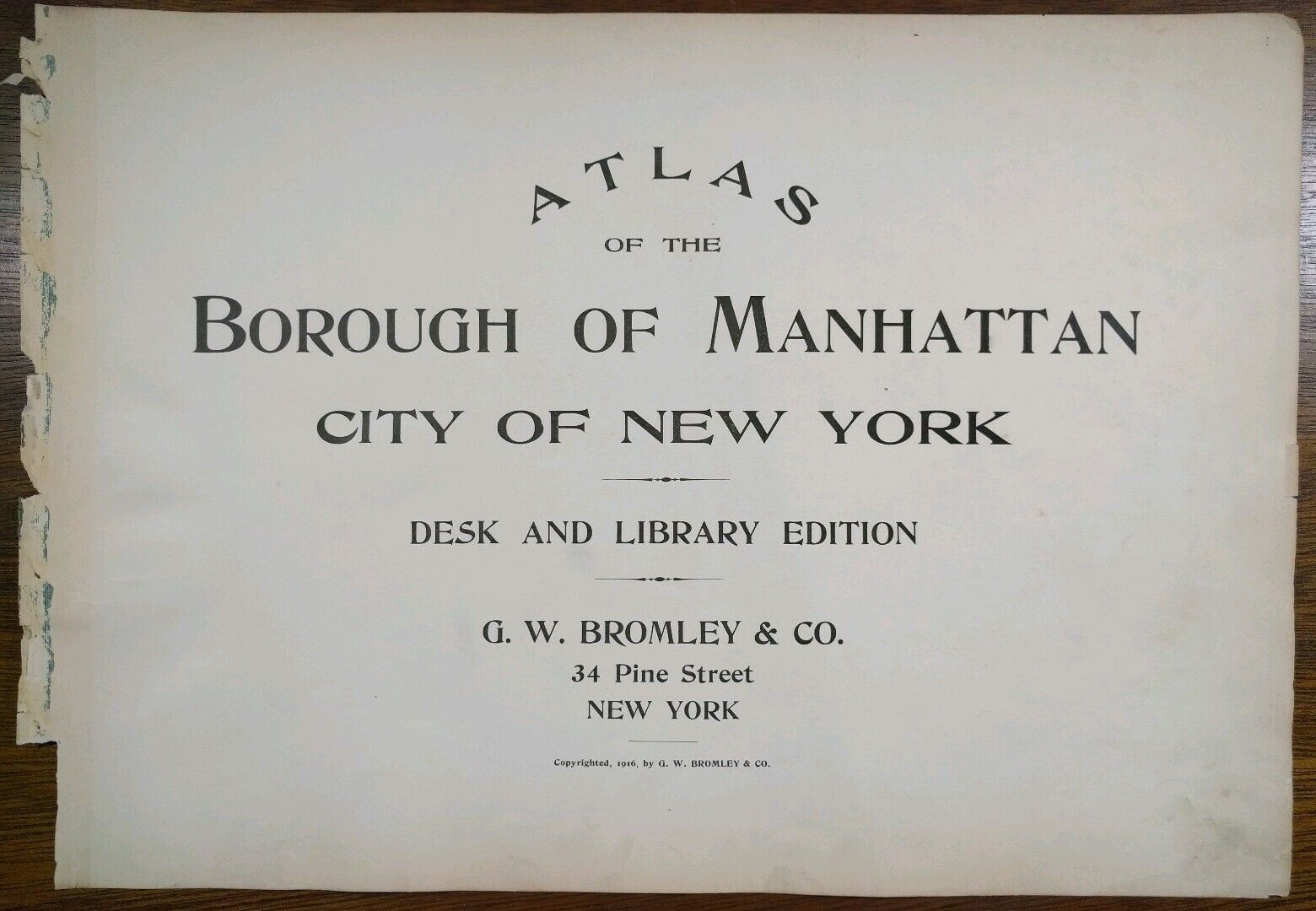
We sell originals only, no reproductions. A copy of the title page is included with your purchase to verify authenticity.
Your map will be shipped in sturdy waterproof packaging via USPS priority mail, insured.
Please view our happy customer's feedback and purchase this map with complete confidence.
Thank you


